Newest LiDAR Sensors for Industrial Drones in 2026
.png)
As we enter 2026, LiDAR - once a niche high-end sensing option - is rapidly morphing into a must-have sensor suite for industrial drones. No longer confined to just expensive aircraft mapping missions, LiDAR technology is now embedded into drones used for inspections, environmental monitoring, infrastructure surveys, and even autonomous navigation. But the industry isn’t just adopting yesterday’s tech — it’s embracing new classes of sensors that are reshaping what unmanned systems can perceive and do.
Here’s a look at the most influential LiDAR technologies driving drone evolution in 2026 - and why they represent more than incremental upgrades.
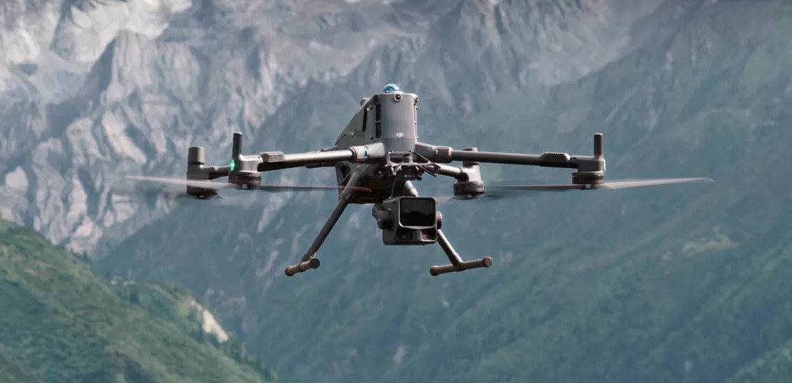
1. DJI Zenmuse L3 - Integrated Precision for Enterprise Aerial LiDAR
One of the most talked-about LiDAR advancements entering service around late 2025 and into 2026 is the DJI Zenmuse L3. Built as a turnkey LiDAR and imaging sensor combination for enterprise drones, this unit pairs LiDAR scanning (with multiple returns) with dual 100MP cameras in one payload. The result? Ultra-precise point clouds that can map complex terrain and infrastructure with centimeter-level accuracy — without the need for separate RGB setups or complex fusion software. Its high sweep coverage makes it ideal for utilities, forestry, and large-scale infrastructure surveys where resolution and efficiency redefine project economics.

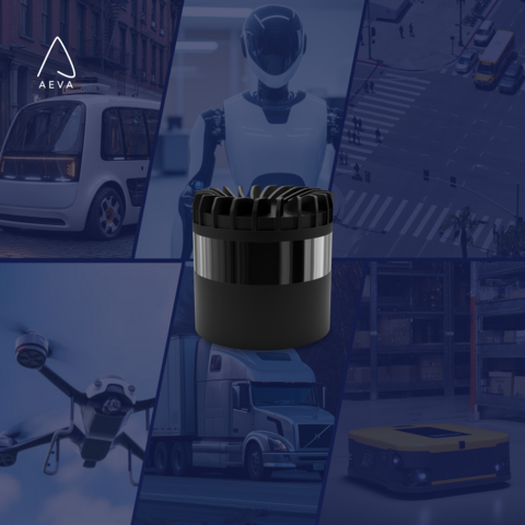
2. Aeva Omni - Next-Gen 4D Perception Capabilities
New in 2026 is Aeva’s Omni 4D LiDAR — a short-range, wide-field sensor designed to provide environmental awareness not just in distance but in real-time motion and velocity. This “4D” approach means drones can detect not only where objects are, but how they are moving — a huge step forward for autonomous flight, inspection maneuvers, tracking, and obstacle avoidance without GPS. As industrial drones increasingly operate around built environments or in complex terrain, this kind of active scene understanding becomes critical.
3. Solid-State & Compact Systems - MOVIA L from MicroVision
LiDAR is getting smaller, cheaper, and more powerful — and that matters for drone operators who previously faced the trade-offs of heavy weight vs. performance. New solid-state systems like MOVIA L sensors (Emerging in 2026 discussions) are designed for robust near-range mapping and navigation. They provide high-precision, real-time 3D data for shorter distances — ideal for urban inspections, public safety flight, and navigation through cluttered spaces. These compact solutions help drones perceive their environment even in GPS-denied zones, enhancing autonomy.

4. RIEGL VQ-1560 III-S’s Advanced Waveform LiDAR for UAV Integration
RIEGL continues to push airborne LiDAR performance into industrial drone territory with its newest waveform processors and multi-channel scanners. These sensors deliver detailed 3D data across complex landscapes and can be integrated on UAV platforms without sacrificing performance. Their smart waveform processing enhances point distribution, enabling drones to capture nuanced structures like foliage, powerlines, and urban corridors with remarkable fidelity.

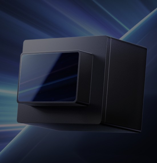
5. Hesai FTX - Solid-State Precision for Logistics and Autonomy
The new FTX LiDAR from Hesai — now entering mass production — is noteworthy for its solid-state design optimized for low-altitude logistics drones and autonomous platforms. This sensor enables reliable perception and positioning in complex airspace, supporting industrial drones that must navigate crowded skies, avoid obstacles, and operate out of urban corridors. Its selection by major drone operators signals a broader shift toward production‐scale LiDAR deployment beyond automotive or experimental use.
Why 2026 Is LiDAR’s Inflection Point for Drones
What’s different in 2026 isn’t just a new gadget or incrementally better range — it’s the integration of precision LiDAR into real industrial workflows:
- Automated Mapping & Inspection: Faster point cloud creation with fewer flights and less ground control, reducing cost and field time.
- Sensor Fusion Workflows: Tight coupling of LiDAR with IMU, RTK, and high-resolution imagery for drone workflows that are precise and automated.
- Autonomy & Navigation: Real-time environmental awareness that enables drones to operate in GPS-denied or complex environments.
- Enterprise-Level Reliability: Enterprise ecosystems that integrate LiDAR into end-to-end missions — from flight planning to analysis — with less manual intervention.
In short: LiDAR is no longer a specialist add-on. It’s becoming a core sensor for industrial drones, making them genuinely intelligent machines — flying scanners, infrastructure inspectors, environmental monitors, and autonomous agents in one.

.jpg)