How eBeeX Drone from EagleNXT Helped a Kansas County Rethink City‑Scale Mapping

For most local governments, mapping an entire city is slow, expensive—and often years out of date by the time it’s finished.
In Finney County, Kansas, officials decided to try something different.
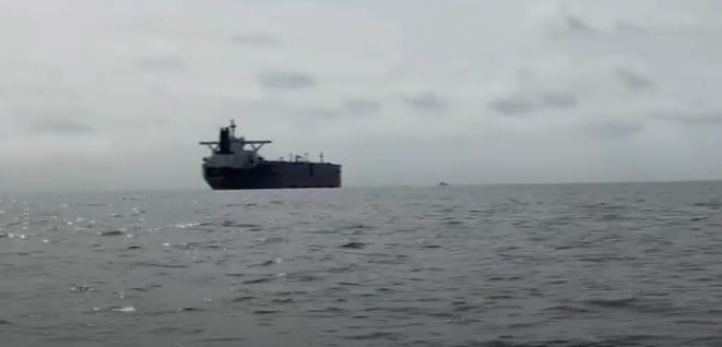
In November 2023, the county’s Geographic Information Systems (GIS) Department acquired the EagleNXT eBee X, a fixed‑wing mapping drone equipped with the Aeria X 24‑megapixel camera, to tackle the challenges of surveying one of the largest counties in the state. Covering 3,375 square kilometers with a population of just over 37,000, Finney County presents a classic rural mapping problem: too much land, too few resources, and high demand for accurate data.
The drone changed the math.
Operating under FAA Part 107, the eBee X is currently the only drone in the United States authorized to fly over people and moving vehicles without a waiver, thanks to its compliance with the FAA’s Category 3 Operations Over People rules. That regulatory distinction matters. While most drones require special approvals to fly above populated areas or roads, Finney County’s GIS team gained immediate operational flexibility.
“Our main objective was to enhance our ability to map large areas more efficiently,” said Tom Marchant, a GIS technician with the county. The scale of the task demanded endurance and coverage, not hovering precision.
The eBee X is built for exactly that. With a single battery, the fixed‑wing aircraft can map up to 1,235 acres (500 hectares) in one flight, enabling long linear surveys and wide‑area collection that rotary drones struggle to match. For Finney County, that capability unlocked an ambitious goal: mapping the entire city in weeks, not months.
The department selected the Aeria X camera from among seven compatible payloads, prioritizing high‑resolution RGB imaging for cadastral and infrastructure work. “The resolution and clarity of the images are phenomenal,” Marchant said, highlighting the system’s suitability for precision mapping and appraisal tasks.
Early impressions confirmed the investment.
Since the first flight in December 2023, the team reports strong performance in durability, endurance, and acoustic profile. The drone’s quiet, bird‑like flight made it less disruptive over urban areas—an often underestimated advantage for public agencies operating above neighborhoods and roadways.
The GIS department supports a wide range of county services, and the eBee X quickly proved its range. Projects included road corridor surveys for public works, parking‑lot measurements for repair estimates, property appraisals on large parcels, and aerial surveys of new developments for contractors.
“With the eBee X, we can fly further, longer, and faster,” Marchant explained. Under favorable wind and lighting conditions, the team estimates it can complete full city mapping in about 14 days, flying in quarter‑mile sections while maintaining visual line of sight.
Standard flights are conducted at 365 feet above takeoff, using a 70% overlap interlaced pattern, delivering imagery at 0.90 inches (2.2 centimeters) per pixel—a level of detail sufficient for parcel mapping, asset inspection, and long‑term planning.
The payoff goes beyond efficiency. Once completed, the city‑wide dataset will support more accurate property valuations, improved parcel data, and public access to high‑quality maps, reducing friction between residents, planners, and contractors.
What Finney County’s experience reveals is a broader shift in U.S. public‑sector drone operations. Fixed‑wing UAVs—long overshadowed by quadcopters—are increasingly favored for large‑area GIS missions where endurance, regulatory flexibility, and coverage matter more than vertical precision.
In this case, one drone didn’t just speed up mapping.
It quietly reset expectations for what local governments can achieve with the right mix of hardware, regulation, and ambition.