DJI Terra’s New 3D at Photorealistic Digital Twins
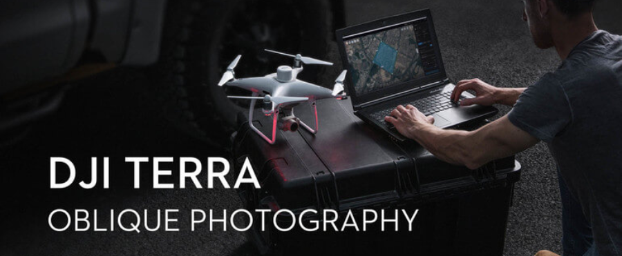
DJI has just launched a massive software update for its enterprise-grade Terra platform, introducing 3D Gaussian Splatting, a cutting-edge reconstruction method that elevates drone-mapped environments from geometric maps to photorealistic digital worlds. With version 5.0, Terra now produces stunningly lifelike models from visible-light imagery, transforming frames captured via DJI drones or LiDAR sensors into immersive, texture-rich representations — even in complex sections like reflective surfaces, dense foliage, or transparent structures.
Gone are the days when drone-derived models looked like blocky meshes. The new Gaussian Splatting feature renders each point as a translucent Gaussian “splat”, enabling visual depth and realism combined with precision. The result: unmatched fidelity in cityscapes, architectural documentation, forestry projects, infrastructure surveys, and more—delivering both accuracy and aesthetic impact.
Terra’s latest update doesn’t just promise beauty; it delivers speed and scale. Large datasets, like an entire urban block or elaborate heritage site, now reconstruct in a fraction of the time compared to older mesh-based workflows. Users report reconstruction speeds doubling, while LiDAR-generated orthomosaics and point clouds also process significantly faster—thanks to parallelized cluster processing and optimized algorithms.
But it’s not all just visual wizardry. DJI Terra remains deeply rooted in industrial workflows. It continues to support precision photogrammetry, multispectral mapping for agriculture, robust LiDAR point-cloud construction, and full mission planning—including Smart 3D Capture for drones like Matrice 4E. Users can plan complex flight routes, import GPS-based ground control points, handle 2D, 3D, or corridor surveys, and export measurements in standard GIS/CAD formats.
Equipped with new licensing tiers, Terra now offers Standard and Flagship editions—Flagship unlocking the full 3D Gaussian Splatting feature set. Enterprises can choose between single-machine use or cluster-based multi-device reconstruction for large-scale operations. The update also brings enhanced integration with DJI’s Modify editing suite, empowering users to annotate, measure, and simulate directly on reconstructed models.
As DJI’s unified hardware–and–software solution, Terra truly streamlines aerial surveying workflows—from airborne capture through to final deliverables. Enterprises in sectors such as construction, energy, mapping, infrastructure, environmental monitoring, and agriculture will find that photorealistic digital twins now take less time, consume fewer resources, and deliver richer insights than ever before.
Under the hood, Terra handles enormous volumes efficiently: datasets exceeding 10,000 images can now be processed twice as fast as with traditional pipelines, while LiDAR-driven reconstructions enjoy a 20–50% increase in speed depending on hardware. And all of this occurs in a self-contained system: no internet connection is required during reconstruction, making it suitable for secure environments and remote fieldwork.
In essence, DJI Terra 5.0 with Gaussian Splatting marks a transformative moment in drone mapping: a shift from technical meets to true digital experience. Users can now capture detailed, realistic environments with unmatched operational speed and accuracy. For enterprises striving to build realistic digital twins, plan infrastructure, or monitor environments at scale, Terra is no longer just survey software—it’s an engine for next‑generation digital transformation.
.jpg)
.jpg)