Intergeo 2025 Ignites Drone Market with Geospatial Innovation
In an era where data drives infrastructure, climate resilience, and smart city planning, Intergeo 2025 emerges as a pivotal catalyst for the drone industry. From October 7–9, the Messe Frankfurt will welcome thousands of visitors, hundreds of exhibitors, and global industry leaders to engage in the geospatial technologies that are reshaping tomorrow’s world.
Celebrated annually by the German Association for Geodesy, Geoinformation and Land Management, Intergeo has steadily evolved since its origins in the early 20th century. Today, it stands as Europe’s foremost geospatial expo and conference, now firmly established in Frankfurt through the next several years.
Drones Take Center Stage in Geospatial Revolution
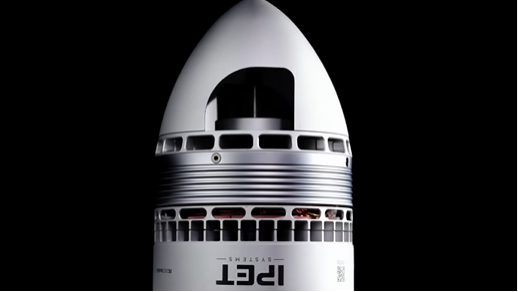
Drones—or UAVs—feature as a core exhibition area at Intergeo, reflecting their increasing relevance in geodesy, mapping, and geoinformation. A dedicated Unmanned Systems track highlights how UAVs are indispensable for high-resolution surveys, 3D modeling, and real-time mapping, supplying data faster and from more versatile angles than ever before.
Application Dome: Bridging Innovation to Real Impact
A standout addition, the Application Dome, shifts Intergeo’s focus from theoretical discourse to tangible applications. Delegates can engage with live use cases—from drone-enabled mapping for climate adaptation to precision surveying in urban development and emergency response.
More than an exhibition, this format fosters real-world solution transfer. For drones, that means improved integration into smart-city infrastructures, environmental monitoring systems, and disaster resilience strategies.
Earth Observation & Digital Twins: Elevating Drone Utility
Alongside drones, Earth observation, satellite data, and digital twins anchor the technical discourse. Demonstrations will show how satellite imagery and drone data converge to inform urban heat mapping, flood risk assessments, landslide detection, and refined GIS workflows—delivering actionable insights for climate adaptation and city planning.
Digital twins—virtual replicas of physical environments—will also be a focal topic via trend-driven discussions and case studies. Coupled with drone-captured data, these twins strengthen infrastructure resilience and real-time monitoring capacity.
Drone Market Impact Through Networking and Innovation
As Europe’s flagship geospatial gathering, Intergeo creates unmatched synergy among drone manufacturers, GIS professionals, regulators, and end-users. Thought-leadership keynote sessions on Geo & AI, Smart Cities, UAV mapping workflows, and policy frameworks offer fertile ground for shaping drone market trajectories.
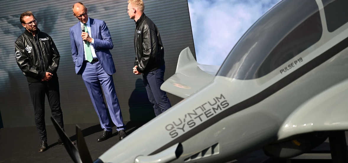
Moreover, the Start-up Area spotlights emerging drone tech, giving innovators pitch time on the Main Stage and access to funding opportunities.
Why Drones Win at Intergeo 2025
- Visibility & Positioning: Drone solution providers can elevate their profile before a global geospatial audience.
- Application-First Dialogue: Use-case demonstrations demystify drone relevance in infrastructure, resilience, and surveying.
- Ecosystem Collaboration: Interdisciplinary networking aligns drone developers with GIS practitioners, urban planners, and policymakers.
- Standards & Regulation: Insights on digital sovereignty, UAV mapping standards, and remote sensing pave the way for compliant and interoperable drone systems.
Conclusion: Intergeo’s Drone Legacy in the Making
Intergeo 2025 isn’t merely a conference—it’s the nexus where drones meet geospatial purpose. By integrating UAV systems into digital twins, Earth observation, and smart city frameworks, the expo thrusts drones into the core of innovative infrastructure and climate solutions.
As the industry convenes in Frankfurt, Intergeo is set to drive drone adoption forward—transforming aerial tech from emerging novelty into a mission-critical backbone of tomorrow’s geospatial landscape.
.jpg)
.jpg)