How AgEagle Drones are Saving Lives in Hurricane Zones
Florida’s Hernando County Fire Department is leading the way with the integration of AgEagle’s eBee VISION drones into its search and rescue (SAR) operations, drastically improving how first responders prepare for, respond to, and recover from hurricanes and other natural disasters.
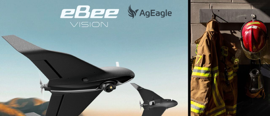
When every second counts, the ability to assess danger zones, locate missing persons, and guide rescue teams with pinpoint accuracy can be the difference between life and death. That’s exactly where AgEagle’s drone technology delivers. Designed for rapid deployment and long-range visual intelligence, the eBee VISION system enables emergency crews to operate with enhanced situational awareness in the most hazardous and chaotic environments.
The Gulf Coast of Florida is no stranger to violent weather. With hurricanes intensifying in both frequency and strength, conventional response methods often prove too slow or too dangerous to be effective. That’s where AgEagle's drones come in—not only accelerating critical response times but also reducing the risks posed to personnel on the ground. These drones provide an aerial vantage point that allows responders to visualize large swaths of territory in real time, identifying obstacles, survivors, and areas of greatest need—without having to send people blindly into danger zones.
Unlike traditional reconnaissance methods, which can be time-consuming or limited by terrain, eBee VISION drones offer high-resolution video and thermal imagery from above, even in low-visibility conditions. This capability enables teams to swiftly map out affected areas, guide search parties, and coordinate evacuations based on accurate, live data—before boots ever touch the ground.
More importantly, this isn’t future tech still in testing—it’s in the field now. The Hernando County Fire Department has actively used AgEagle’s systems in storm aftermath scenarios, creating real impact on the ground. During recent hurricane events, responders were able to evaluate collapsed structures, flooded zones, and disrupted transportation routes from above, reducing time lost to uncertainty and ensuring resources were directed exactly where they were needed.
AgEagle’s commitment to supporting emergency services with reliable aerial tools reflects a broader mission: to empower agencies with smart technology that protects lives and enhances operational efficiency. These drone systems aren’t just flying cameras—they’re force multipliers, giving first responders eyes in the sky and the data they need to make life-saving decisions.
As natural disasters grow more intense and more frequent, the need for intelligent, agile solutions becomes undeniable. Hernando County’s real-world application of AgEagle’s drone technology shows that modern emergency response doesn’t need to wait—it can take flight now, and it’s already saving lives.
.jpg)